


WATERLINE IS NO SHORE THING
Augusta-Margaret River Times

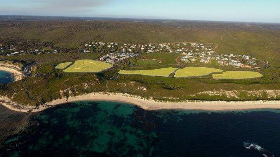
Storm surge battering the Gnarabup boat ramp earlier this year. Credit: Gordon Becker Picture:
Critics of a proposed beachfront development at Margaret River are in a dispute with the developer over where the shoreline will sit in 100 years time, with opponents claiming some houses could end up underwater.
Developer Luke Saraceni’s five-star resort planned for Gnarabup is set for an elevated site more than 200m from the water.
The Preserve Gnarabup group claims the council’s Coastal Hazard Risk Management and Adaptation Plan shows the area’s new shoreline — or the area which will be heavily affected by storm surges or erosion — will move inward 130m-175m over the next century.
The 2013 report suggests the hotel will at that point be 12.5m-50m from the potential new shoreline or heavily eroded area.
Some of the proposed villas along Reef Drive would be only metres from it and some villas near Seagrass Place potentially submerged by water. The group claims it is another reason for the council to reserve the land and stop the proposed $75 million development.
“If this site is developed, there will be no public access and coastal foreshore reserve between the beach and private property within a few decades,” Preserve Gnarabup solicitor Clare Gleeson said.
Mr Saraceni lashed out at the group this week, claiming they were “clutching at straws” by relying on an old report he claimed was not credible.
He confirmed the 2013 report suggested that his proposed villas at the southern end of the development could be “touching the water” in a century.
He said preliminary results from a new assessment he commissioned showed the shoreline would not move as far inward and would not affect his development.
Mr Saraceni said the 2013 report failed to take into account that some of the foundation in the area was limestone, rather than beach sand, which would undermine the degree of erosion in the area compared with other parts of the coast.
“They have not properly mapped the coastline, they have treated it as if it is all sand,” he said.
“They have not considered the limestone foundation which acts as a natural sea wall.”
Mr Saraceni rejected claims from Preserve Gnarabup that the changing waterline would also weaken the limestone foundation.
“We have structural engineers and geotechnicians who look at that and we would not be so stupid to build on a foundation that was not safe,” he said.
The Preserve Gnarabup group pointed to a case last year in which beachfront developers had to give coastal land to the State Government so that the beach could be saved for residents who live there in 100 years time.
The Shire of Augusta Margaret River’s Nick Logan said the 2013 report was a “high-level coastal risk assessment” but that Saracen Properties would have to undertake a site-specific assessment in its development application.
Luke Saraceni claims the 2013 report failed to take into account that some of the foundation in the area was limestone, rather than beach sand.
While the case does not create a legal precedent, the group said it added weight to their argument.
The Shire of Augusta Margaret River’s Nick Logan said the 2013 report was a “high-level coastal risk assessment” but that Saracen Properties would have to undertake a site-specific assessment in its development application.
Mr Logan, the director of sustainable development and infrastructure, confirmed the land earmarked for development would be affected by rising sea levels, erosion, geomorphology of the coast or could be inundated with storm surge.
“Through this assessment portions of the land have been identified as potentially at risk of impacts from coastal processes over the longer term (100-year) horizon.”
